Ranikhet
Ranikhet
Ranikhet, a garrison town in Kumaon at 1,800 m elevation, offers direct views of Nanda Devi, rhododendron forests and a well-preserved colonial atmosphere, far from the bustle of major Himalayan hill stations.
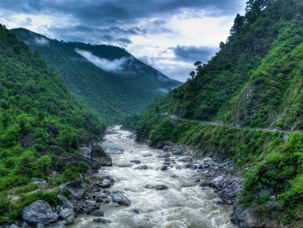
Ranikhet is a garrison town nestled in the Kumaon hills, at approximately 1,800 metres elevation in Uttarakhand. Administered by the Kumaon Rifles regiment since the colonial era, it retains an orderly, verdant atmosphere that many lowland stations have long lost. Oak and rhododendron forests frame direct panoramas of the western Himalayan peaks, from Nanda Devi to Trishul.
Practical information at a glance
- Elevation: approximately 1,800 m — pack warm clothing even in summer.
- Best time to visit: March–June (rhododendrons, clear skies) and September–November (post-monsoon, maximum Himalayan visibility).
- Access: the nearest railway station is Kathgodam (approximately 80 km); taxis and buses run regularly between the two. From Delhi, allow approximately 6–7 hours by road via Moradabad.
- Military zone: certain cantonment areas are restricted; respect all prohibition signs.
- Recommended duration: 2 to 3 nights to explore the surroundings without rushing.
What to see
Chaubatia Garden, a government orchard planted with apple, peach and apricot trees, offers unobstructed views of the eternal snows. Upat golf course, one of Asia's highest, spreads across a pine-covered plateau. Jhula Devi temple, dedicated to the goddess Durga, is lined with brass bells offered by devotees in gratitude for answered prayers.
History and context
The British established a cantonment here in the second half of the 19th century, drawn by the temperate climate and strategic position in Kumaon. The name "Ranikhet" literally means "queen's field" — a local legend recounts the halt of a Mughal queen in this place. After independence, the Kumaon Rifles regiment took over its management and maintains the order and cleanliness characteristic of the town.
Highlights of the visit
Panorama of Nanda Devi from Chaubatia
On clear days, Nanda Devi (7,816 m) and Trishul stand out sharply on the horizon from Chaubatia orchard. Dawn is the most favourable moment: the raking light colours the snows pink-orange before valley haze rises.
Jhula Devi temple
This active shrine, a few kilometres from the centre, is covered with thousands of brass bells of all sizes. Local pilgrims arrive continuously; the sonic and visual atmosphere is striking, especially during Navratri festivities.
Upat golf course
The Upat plateau hosts a nine-hole course surrounded by pine forests. Even without playing, a walk across the plateau offers unobstructed views and rare tranquillity.
Sadar Bazar market
The main bazaar concentrates shops selling local wool (Kumaon wool shawls, wool sweaters), preserves and fruit juices produced at Chaubatia. It's the place to pick up authentic regional products.
Etiquette and visiting rules
- At Jhula Devi temple, remove your shoes before entering the inner enclosure.
- Modest dress is recommended in all places of worship in the town.
- In military cantonment areas, do not photograph military installations.
- Respect all "restricted area" signs without exception.
Photography tips
The dawn light from Chaubatia or Upat plateau is ideal for photographing the Himalaya: before 8 a.m., the sky is often cloudless and the snow-capped peaks catch the first warm hues. In rhododendron forests (March–April), late afternoon filtered light reveals the vivid red flowers. Avoid photographing any military building or personnel.
Location and access
Ranikhet lies in Almora district, Uttarakhand. Kathgodam railway station (Indian Railways network) is the nearest rail entry point; shared taxis and state buses operate services to Ranikhet. From Nainital, allow approximately 2 hours of mountain driving. From Almora, the distance is approximately 50 km. Access by private car or taxi is most practical for exploring the scattered sites around the town. Accessibility for persons with reduced mobility is limited due to terrain and mountain roads.
In the vicinity
- Almora — historic Kumaon town, renowned for its copper craftsmanship and Katyuri temples, approximately 50 km away.
- Nainital — colonial lakeside station on Naini lake, the classic starting point for Kumaon.
- Kausani — ridge village offering one of the region's broadest Himalayan panoramas, approximately 60 km away.
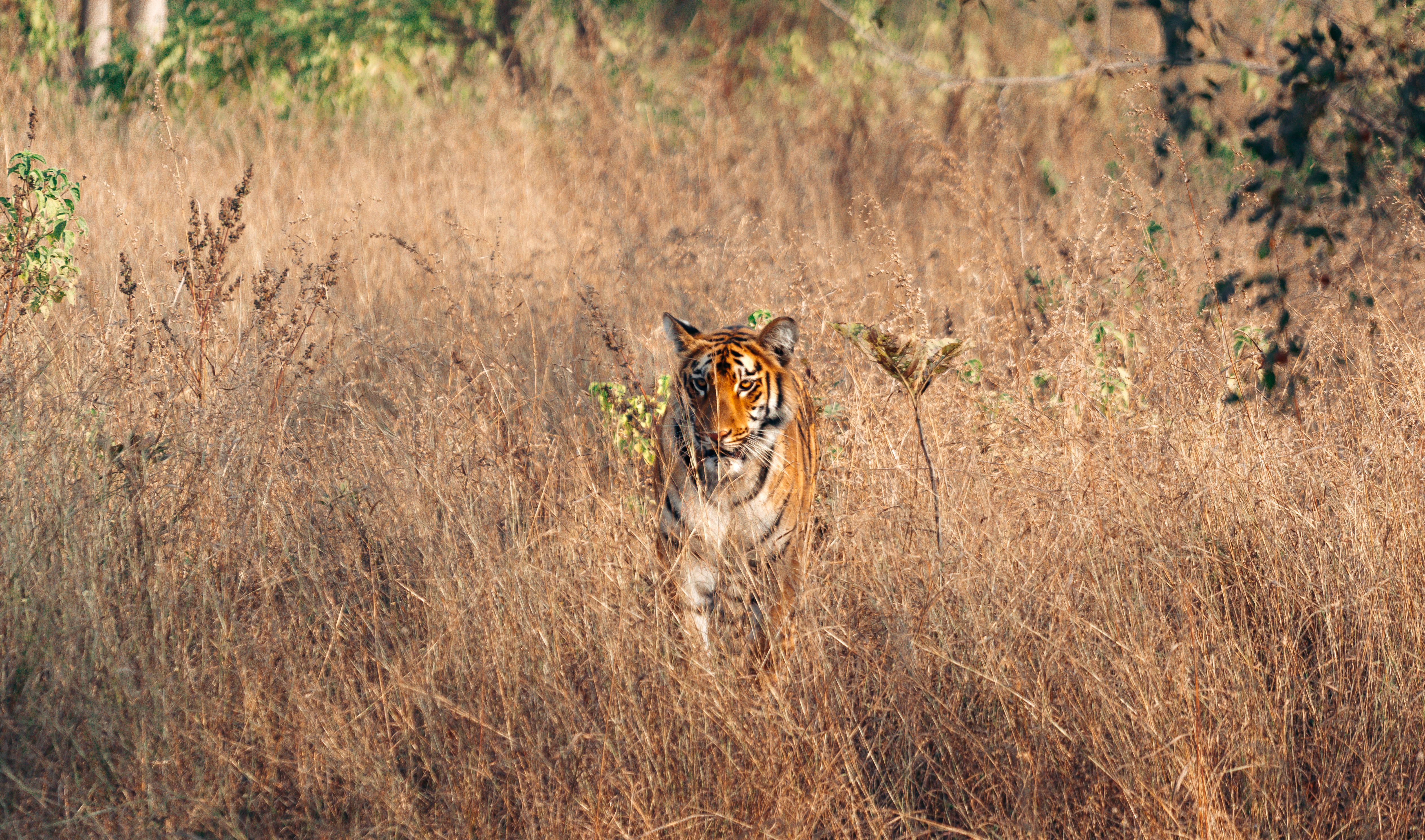
- Jim Corbett National Park — India's first tiger reserve, accessible from Ramnagar approximately 110 km away.
Frequently asked questions
March to June for rhododendrons and generally clear skies. September to November offers the best Himalayan visibility after the monsoon. Winter (December–February) is cold and can be snowy, but the atmosphere is peaceful.
No, Ranikhet is open to civilian visitors. Certain military cantonment areas are restricted, but the main tourist sites (Chaubatia, Jhula Devi, Upat) are freely accessible.
A classic circuit connects Nainital, Ranikhet, Almora and Kausani over 5 to 7 days. Roads are winding; opt for a local taxi for greater flexibility.
Yes, in public spaces and natural sites. Avoid photographing military installations and military personnel — it is prohibited and may cause complications.
Covering attire (shoulders and knees) and shoes that are easy to remove. A lightweight shawl is useful and available in local bazaar shops.
Yes. Chaubatia orchard, forest walks and Upat golf course suit all ages. The town's leisurely pace is an asset for families seeking to avoid crowds.
Photos
Want to discover this destination?
Our local advisors design your tailor-made trip.