Nainital
Nainital
Nestled at 2,000 m in the Kumaon foothills of the Himalayas, Nainital revolves around Naini Lake. A former British hill station, it offers panoramic views of snow-capped peaks, the Naina Devi temple, and accessible hiking trails.
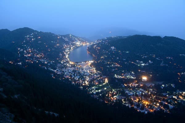
Nainital is a mountain town in Uttarakhand, nestled in the Kumaon foothills of the Himalayas at approximately 2,000 meters elevation. It centers around Naini Lake, a natural body of water shaped like an eye and surrounded by forested hills. Once a British hill station, it attracts Indian families and travelers seeking cooler temperatures, hiking, and views of snow-capped peaks.
Practical information at a glance
- Elevation: approximately 2,084 m — pack warm clothing even in summer.
- Best time to visit: March-June (before monsoon) and September-November (after monsoon).
- Access: the nearest railway station is Kathgodam (~35 km); taxis and buses regularly connect Kathgodam to Nainital.
- Getting around: the town center (Mall Road) is often closed to private vehicles during peak season; local shuttles run regularly.
- Suggested duration: 2 to 3 days to explore the lake, viewpoints, and surroundings.
- Accessibility: limited — roads are steep and pavements uneven.
What to see
Naini Lake is the heart of the town. Rowboats and paddle boats allow you to circle it. The Mall Road, a promenade lined with shops and cafés, runs along the southern shore. On the northern shore, the Flats (Bhotia Parao) is an open space used for local events. The surrounding hills offer several viewpoints accessible on foot or horseback.
History and context
Nainital is mentioned in ancient Hindu texts as Tri-Rishi-Sarovar. The British "rediscovered" it in the 19th century: P. Barron, a sugar merchant, stays here in 1841 and helps bring it to prominence. It quickly becomes a favored summer station for the colonial administration, complete with clubs, tennis courts, and Victorian villas, some of which still stand today.
Highlights of your visit
Naina Peak (China Peak)
The town's highest accessible point, at approximately 2,611 m. On clear days, views extend to the snow-capped summits of Nanda Devi and Trishul. Hike up or go by horseback from Snow View Point.
Snow View Point
Accessible by ropeway from Mallital. Panoramic views of the Himalayas are clearest in the morning, before clouds roll in. Paid binoculars are available on-site.
Naina Devi Temple
Located on the northern shore of the lake, this Hindu temple dedicated to the goddess Naina is one of the 51 Shakti Peethas. It draws particularly large crowds during the Nanda Ashtami festival. The atmosphere is most contemplative early in the morning.
Tiffin Top (Dorothy's Seat)
A hill accessible on foot or horseback from Ayarpatta. The name "Dorothy's Seat" honors Dorothy Kellett, a painter who loved working there. Open views over the valley and lake.
Nainital Zoo (G.B. Pant High Altitude Zoo)
One of India's rare high-altitude zoos, it houses Himalayan species including snow leopards, Tibetan wolves, and musk deer. Located on the Sher-ka-Danda road.
Etiquette and visiting rules
- At Naina Devi Temple: remove your shoes before entering, dress modestly with covered shoulders and legs.
- Avoid beachwear or overly light clothing in religious spaces.
- The lake is a public space; do not litter — pollution is a sensitive local issue.
Photography tips
Morning light (before 9 a.m.) is ideal for photographing the lake with reflections of the surrounding hills. Snow View Point and Naina Peak offer the best mountain vistas, but clouds often obscure the Himalayas after 10-11 a.m. Visibility is greatest in October-November.
Location and access
Nainital is located in the district of the same name in Uttarakhand, approximately 300 km from Delhi. Kathgodam railway station is the nearest terminus; several trains connect Delhi to Kathgodam. From there, shared taxis and buses serve Nainital. The nearest airport is Pantnagar, about 65 km away. By car from Delhi, allow 6 to 8 hours depending on traffic.
Nearby attractions
- Mukteshwar — mountain village about 50 km away, known for its Shiva temple and apple orchards.
- Bhimtal — a quieter lake than Naini, with a central island housing an aquarium, about 30 km away.
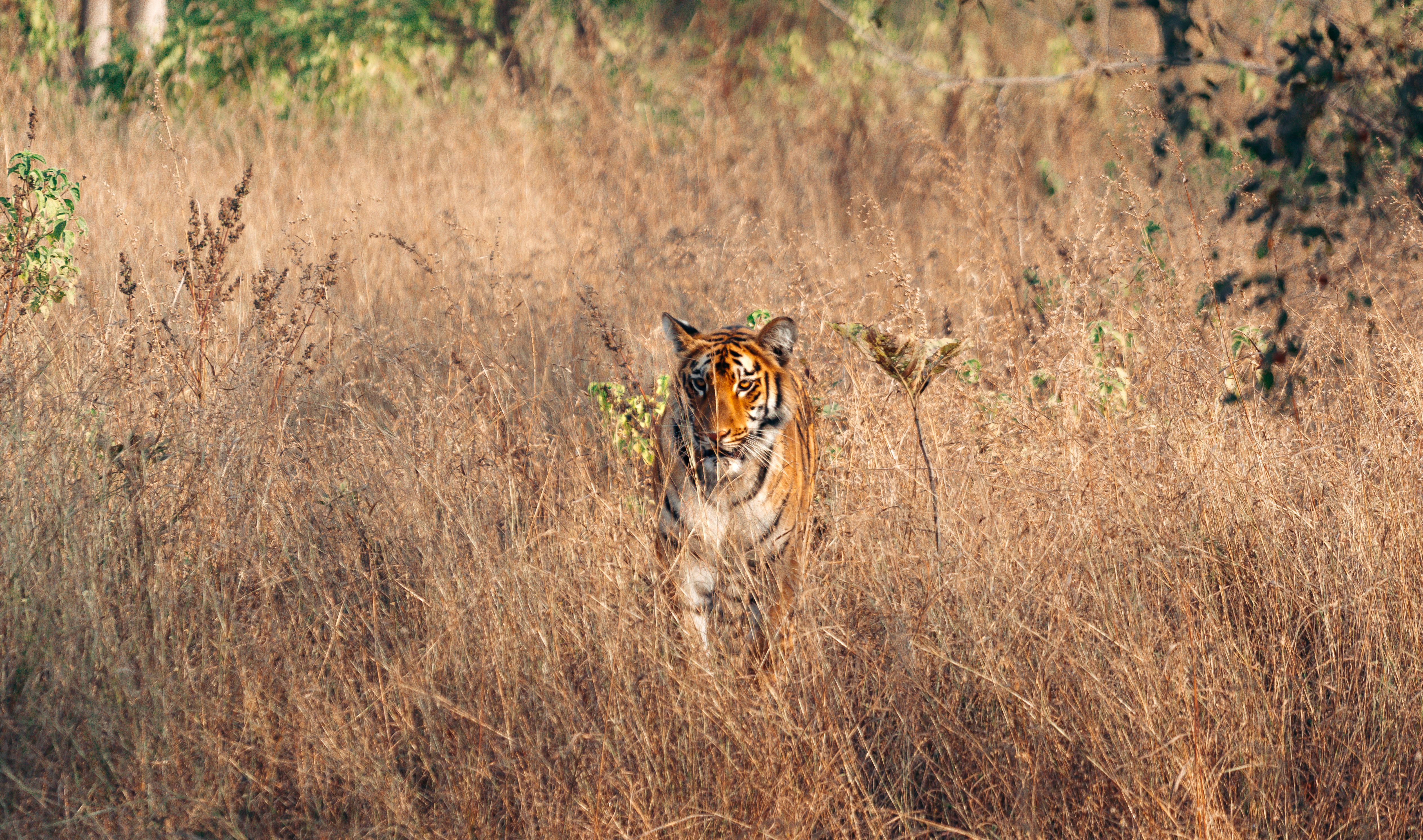
- Jim Corbett National Park — an iconic tiger reserve, approximately 65 km from Nainital.
- Ranikhet — a former British garrison with Himalayan views and colonial golf courses, about 55 km away.
- Almora — a cultural hub of the Kumaon region, a center for local crafts and cuisine, about 65 km away.
Frequently asked questions
March to June offers pleasant weather before the monsoon. September to November is ideal for Himalayan visibility. Avoid July-August: monsoon rains make roads slippery and obscure mountain views.
Yes, on clear days from Snow View Point or Naina Peak. Visibility is best in the morning and in autumn (October-November). Clouds often cover the peaks in the afternoon.
The most common route is by train to Kathgodam, then by taxi or bus to Nainital (approximately 35 km). By car, allow 6 to 8 hours from Delhi depending on traffic.
Remove your shoes at the entrance and wear modest clothing. Arrive early in the morning to avoid crowds and enjoy a more peaceful atmosphere.
Yes, the two sites are about 65 km apart. A 4 to 5-day stay allows you to visit Nainital and spend one or two nights in the Corbett area.
Yes: boat rides on the lake, the ropeway, the high-altitude zoo, and horseback rides appeal to children. Pack comfortable hiking shoes for the hills.
Photos
Want to discover this destination?
Our local advisors design your tailor-made trip.