Sandakphu
Sandakphu
At 3,636 meters on the Singalila ridge, Sandakphu is the only place in Inde where you can simultaneously see Everest, Kangchenjunga, Lhotse, and Makalu. A 4 to 5-day trek from Darjeeling, through rhododendron forests and alpine meadows.
Sandakphu rises to 3,636 meters on the border ridge between Inde and Nepal, in Darjeeling district. It is the highest point in West Bengal. On clear days, four of the five highest peaks in the world are visible from here: Everest, Kangchenjunga, Lhotse, and Makalu. The trek to reach it, through Singalila National Park, is one of the most renowned in northeastern Inde.
Practical Information at a Glance
- Access: usual starting point at Maneybhanjang, accessible from Darjeeling by shared jeep
- Mandatory permit: entry permit for Singalila National Park, issued at Maneybhanjang
- Recommended duration: 4 to 5 days round trip for the complete trek from Maneybhanjang
- Best season: mid-March to May (rhododendrons in bloom) and October-November (clear skies)
- Clothing: mountain trekking gear essential; negative temperatures at night in winter
- Accessibility: not accessible — mountainous terrain, unmaintained trails
What to See
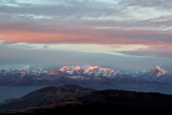
The panorama from the summit is the main draw of the trek. On clear days, Kangchenjunga (8,586 m) dominates to the east, while the silhouette of Everest (8,849 m) rises to the west. In March–April, red and pink rhododendron forests blanket the slopes of the Singalila ridge. Wildlife includes the red panda, muntjac deer, and numerous Himalayan bird species.
History and Context
Sandakphu means "mountain of the poisonous plant" in Lepcha, referring to the aconite that grows on its slopes. The Singalila ridge long served as a natural border between the kingdoms of Sikkim and Nepal. The trekking path follows part of an old mule track. Singalila National Park, established in 1986, protects an ecosystem of temperate forests and alpine meadows.
Highlights of the Visit
Sunrise Over the Himalayan Giants
Before dawn, trekkers gather at the summit or near lodges. Kangchenjunga turns orange then pink before light reaches the valleys. This is the most photographed moment of the trek and the main reason most visitors spend the night at Sandakphu.
The Singalila Ridge and Its Rhododendrons
Between Tumling and Sandakphu, the trail follows the Indo-Nepal border for several kilometers. In April, blooming rhododendron forests transform the landscape. Several species are present, including Rhododendron arboreum with its bright red flowers.
Red Panda Watching
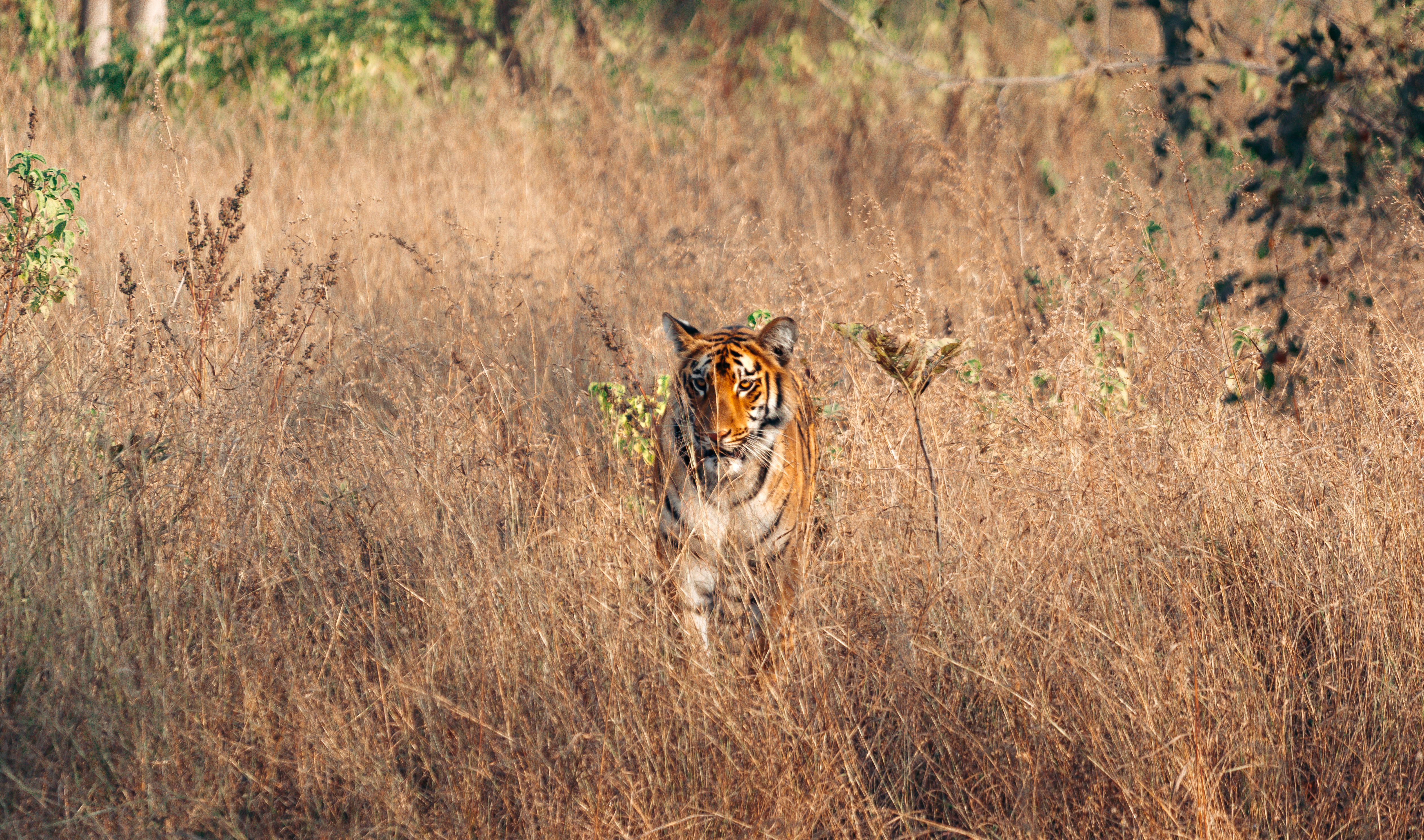
Singalila National Park is home to a population of red pandas (Ailurus fulgens). Sighting chances are best early morning or late afternoon, in bamboo zones and mixed forests between Gairibas and Kalapokhri.
Photography Tips
Sunrise (between 5 and 6 a.m. depending on season) offers the most favorable light on the peaks. A telephoto lens allows you to isolate Everest or Lhotse from the summit. During the day, mist rises quickly from the valleys: arrive early. In April, blooming rhododendrons provide a natural foreground for views of Kangchenjunga.
Location and Access
Sandakphu is located approximately 51 km west of Darjeeling by road, but the trek departs from Maneybhanjang (2,130 m), a village accessible from Darjeeling by jeep. The standard trek follows the ridge via Tumling, Kalapokhri, and Bikheybhanjang. A motorable track also allows reaching the summit by Land Rover from Maneybhanjang, but trekking remains the preferred option. The nearest airport is Bagdogra, approximately 95 km from Darjeeling.
Nearby Attractions
- Darjeeling — the trek's departure city, famous for its tea plantations and views of Kangchenjunga.
- Singalila National Park — the natural setting of the trek, home to red pandas and rhododendron forests.
- Phalut — second peak of the ridge (3,600 m), often included in a 6–7 day circuit from Maneybhanjang.
- Maneybhanjang — Indo-Nepal border village, official starting point of the Singalila trek.
Frequently asked questions
October–November for the clearest skies and sharpest views of the peaks. Mid-March to May for blooming rhododendrons, with good views as well. Summer (June–September) coincides with the monsoon: dense mist and slippery trails.
Yes. An entry permit for the park is mandatory for all foreign and Indian visitors. It is obtained at the checkpoint in Maneybhanjang at the start of the trek. Bring a form of identification.
Yes. A motorable track connects Maneybhanjang to the summit, passable by Land Rover. This option allows reaching the summit in a few hours but deprives you of the ridge experience and rhododendron forests.
The Maneybhanjang–Sandakphu round-trip trek takes a minimum of 4 days. Adding Phalut, allow 6 to 7 days. Lodges along the route allow sleeping at each stage without a tent.
Warm layered clothing (nights drop below freezing in winter and autumn), waterproof hiking boots, trekking poles, headlamp. During the rainy season, sturdy waterproof gear is essential.
Yes, on clear days. Everest is visible to the west-northwest, recognizable by its characteristic plume of snow. Kangchenjunga, much closer, dominates the panorama to the east. Visibility is best early morning, before mist rises.
Photos
Want to discover this destination?
Our local advisors design your tailor-made trip.