Singalila La (Singi La Pass)
Singalila La (Singi La Pass)
At 4,700 meters altitude on the Singalila ridge, Singi La Pass connects Sikkim to West Bengal with breathtaking views of Kangchenjunga and spectacular rhododendron forests.
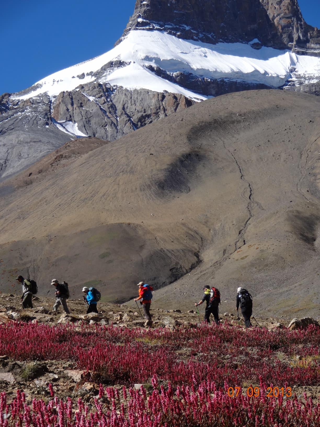
Singi La Pass (also known as Singalila La) rises to approximately 4,700 meters altitude on the ridge border between Sikkim and West Bengal in India's eastern Himalaya. A key waypoint on the Singalila ridge trek, it offers sweeping vistas across snow-capped massifs and winds through rhododendron forests and alpine meadows. This is a high-altitude pass favored by experienced trekkers, far removed from conventional tourism infrastructure.
Quick Reference
- Altitude: approximately 4,700 m — acclimatization essential.
- Access: on foot only, via the Singalila ridge trail; no motor roads.
- Required permits: Restricted Area Permit (RAP) for Sikkim and Singalila National Park trekking permit on the West Bengal side.
- Best season: April–May (rhododendrons in bloom, clear skies) and October–November (stable weather after monsoon).
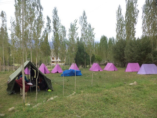
- Accommodation: tents or basic trekking lodges in nearby villages (Dzongri, Goecha La on the Sikkim side).
- Accessibility: none — demanding alpine terrain.
What You'll See
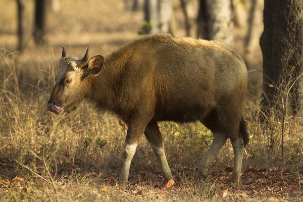
From the pass, the panorama sweeps across several peaks exceeding 7,000 meters along the Kangchenjunga range. The surrounding slopes are blanketed with giant rhododendrons (red, pink, white) blooming in April–May. Alpine wildlife—red pandas, musk deer, Satyr pheasants—inhabits the forested zones below.
History and Context
The Singalila ridge long served as a natural border between the kingdoms of Sikkim and Nepal, later between British territories. The ridge trail was traversed by trading caravans linking the Bengal plains to Tibet via Sikkim. Today, the zone is partially protected by the Singalila National Park.
Highlights of the Experience
The Ridge and Kangchenjunga Panorama
Kangchenjunga (8,586 m), the world's third-highest peak, dominates the northeastern horizon. In clear conditions, Kabru, Rathong, and other range summits are simultaneously visible from the ridge.
Rhododendron Forests
Between 3,000 and 4,000 meters, the slopes are carpeted with giant rhododendrons. In April–May, the blooms transform the hillsides into vivid swaths of color—one of the eastern Himalaya's most spectacular botanical displays.
Singalila Park Wildlife
The red panda (Ailurus fulgens) is the park's flagship species. Early morning sightings are possible in bamboo and mixed forest zones between 2,500 and 3,500 meters.
Photography Tips
Morning light (before 9 a.m.) is most favorable for capturing snow-capped peaks before valley clouds rise. Flowering rhododendrons photograph best under slight cloud cover, which softens contrast. No known photography restrictions apply on this trail.
Location and Access
Singi La Pass lies on the Singalila ridge, accessible from Yuksom or Uttarey on the Sikkim side, and from Sandakphu on the West Bengal side. The most common starting point for a full ridge trek is Manebhanjan (West Bengal), reachable by jeep from Darjeeling. On the Sikkim side, Yuksom is the standard base. No motorized transport serves the pass itself.
- Darjeeling → Manebhanjan: approximately 26 km, accessible by jeep.
- Yuksom (Sikkim): departure base for treks to Dzongri and the ridge.
Nearby Attractions
- Sandakphu — West Bengal's highest point (3,636 m), panoramic views of four of the world's tallest peaks.
- Dzongri — Sikkim high-altitude camp, classic waypoint before Goecha La Pass.
- Yuksom — Sikkim's first capital, departure point for Kangchenjunga treks.
- Darjeeling — colonial hill station and tea capital, logistical hub for the region.
Frequently asked questions
April–May for rhododendron blooms and clear views before the monsoon; October–November for stable skies after monsoon. Winter closes the pass under snow.
A Restricted Area Permit (RAP) is required to enter Sikkim. On the West Bengal side, entry into Singalila National Park requires a trekking permit. Both are obtained through local authorities or an authorized trekking agency.
On the Sikkim side, an accredited guide is typically required by local regulations. On the West Bengal side, the trail is marked but a guide is strongly recommended at this altitude.
The Singalila ridge trek is rated difficult: multiple consecutive days of trekking, significant elevation changes, and altitudes above 4,000 m. Strong fitness and prior acclimatization are essential.
Yes. The pass integrates into a circuit linking Yuksom, Dzongri, and the Singalila ridge. Some trekkers add Goecha La Pass for an expedition spanning ten to fifteen days.
Want to discover this destination?
Our local advisors design your tailor-made trip.