India's Geography
India covers the majority of the Indian subcontinent (India, Nepal, Bhutan, Pakistan, Bangladesh, Sri Lanka and the Maldives). Two massive tectonic plates collide here, with the Himalayas forming the visible manifestation of this titanic clash.
India covers the majority of the Indian subcontinent (India, Nepal, Bhutan, Pakistan, Bangladesh, Sri Lanka and the Maldives). Two massive tectonic plates collide here, with the Himalayas forming the visible manifestation of this titanic clash.
A vast triangle with its western and eastern points stretching from Pakistan to Tibet, India encompasses 1,300 km of the Himalayas' 2,400 km length. Arunachal Pradesh, Sikkim, Garwhal, Ladakh and Zanskar all possess the qualities any trekking enthusiast and seeker of authentic travel experiences would hope to find during a journey through India.
South of the Himalayas lies the sprawling Indo-Gangetic Plain, one of the world's most densely populated regions. At the western extreme, facing Pakistan, the arid Thar Desert (Rajasthan) unfolds its expanses of sand dunes. In stark contrast, the Ganges and Brahmaputra rivers mingle their waters to form one of the planet's largest deltas.
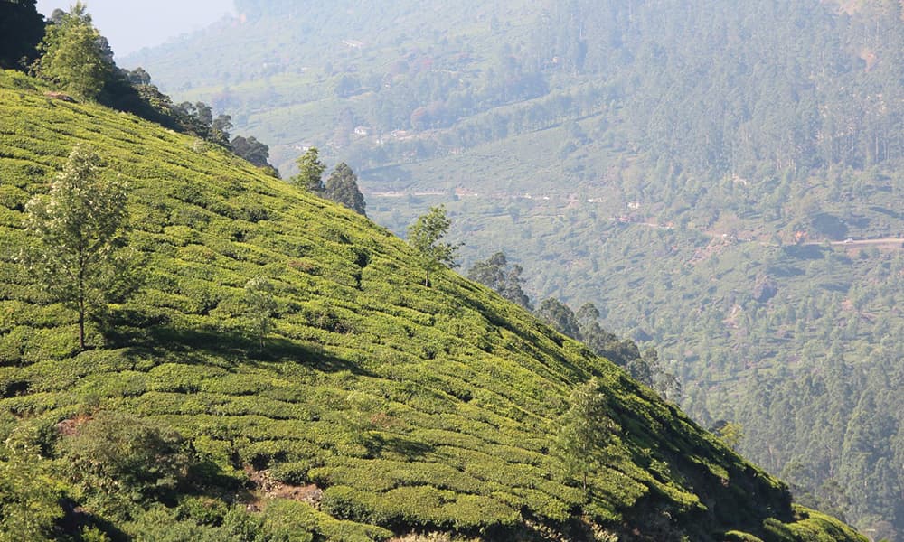
The Deccan Plateau occupies the southern third of the country. Situated between 300 and 600 metres in elevation, semi-arid and partially covered with thorn forests, it enjoys an intensely hot summer climate and mild winters. The Western and Eastern Ghats bound the Deccan Plateau to the west and east respectively. These low-altitude basaltic mountain ranges (averaging 1,200 m) possess soils ideally suited to tea cultivation, which has driven local economic development.
Great rivers traverse the country. Despite this abundance, India faces significant water stress, a source of considerable tension with nearby neighbours (Nepal, Pakistan).
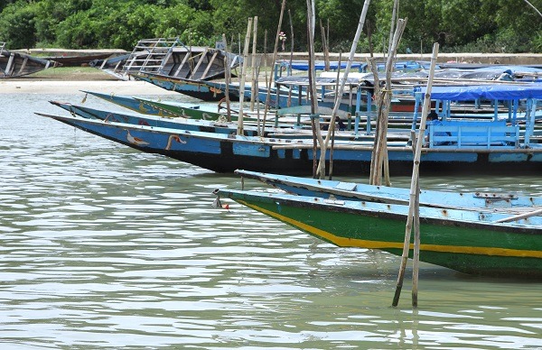
Beyond the well-trodden tourist trails, India is also home to three archipelagos. The Lakshadweep Islands (north of the Maldives), the Andaman Islands off the western coast of Myanmar (Burma), and finally the Sundarbans in the Ganges delta.
Quiz! In your estimation, what is the narrowest width of the Indian Union? Answer: 21 km, in West Bengal. Indeed, this Indian state, whose capital is Kolkata (Calcutta), features a narrow corridor situated between Nepal to the west and Bangladesh to the east, which provides communication with Assam and access to the vast state of Arunachal Pradesh.